Built by drivers. Verified by hand.
We started Low Clearance Map because we were tired of betting our safety on bad data. Today it's the largest, most accurate low-clearance database in the world, trusted by truckers, RVers, and fleets across three countries.
It started on the road, with a fifth wheel and bad data.
Low Clearance Map began in 2021 with a group of full-time RVers who also happened to be data scientists. Hauling a fifth wheel across the country, they were tired of trusting their safety to clearance data that was incomplete, outdated, or simply wrong. One misjudged bridge can total a rig, or end far worse.
So they did what data scientists do: they built something better. They gathered the most trustworthy clearance sources, verified every structure by hand, and added Hazard Headings, directional metadata no one else had. Then drivers started reporting what they saw on the road.
That community turned a good database into a great one. Today it's the largest and most accurate collection of low-clearance structures anywhere: 27,000+ verified bridges, tunnels, and overhead hazards across the U.S., Canada, and the U.K.
No driver should ever have to gamble on whether they'll clear the next bridge.
Accuracy above all
Every structure is reviewed and verified by a human, not scraped and hoped for.
Built by drivers
We live with the same risk we're solving, and we drive the routes we map.
Stronger together
A community of drivers makes the data sharper with every mile traveled.
Safety first
When a clearance is uncertain, we flag it. No guessing, no shortcuts.
Why our data earns your trust
Every clearance in the database moves through the same rigorous pipeline before it ever reaches your route.
Source identification
We compile trustworthy federal, state, provincial, and local databases that report bridge and tunnel clearances.
Data extraction
Automated tools pull clearance data from each source, capturing every relevant field.
Standardization
We format and normalize the data to one consistent, interoperable standard.
Accuracy verification
Every clearance point is reviewed by hand against documentation or imagery to confirm position and height.
Hazard Headings
We annotate each structure with the approach directions where its clearance poses a risk.
Ongoing maintenance
We refresh from original sources and fold in validated driver reports to keep the dataset current.
Trusted by everyone who drives tall
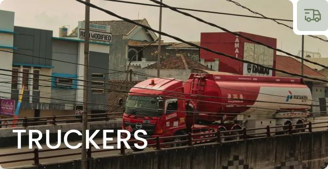
Truck drivers
Hit every deadline without gambling on a bridge. Real-time, reliable data keeps routes clear of costly surprises.
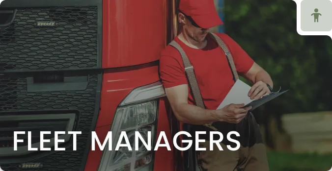
Fleet managers
Give every driver accurate hazard data, cut risk, and stay compliant with height restrictions across the fleet.
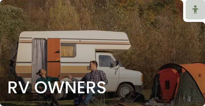
RV owners
Travel with peace of mind. Clear alerts and safe, scenic routes make every trip stress-free.

Developers & fleets
Integrate verified clearance data, including Hazard Headings, through our commercial API and data portal.
The people behind the map
A founder with a data-science obsession, a bench of specialist contractors, and a community of drivers who keep the data honest.

Brad Farrell, MS
A chemist by training with a strong background in data science and software development, Brad started Low Clearance Map after one too many close calls trusting bad clearance data on the road. A Pacific Northwest native, he built the data pipelines and verification systems that keep every structure in the database accurate, and still reviews the tricky ones himself.
Specialist contractors
Experienced data engineers, GIS analysts, and mobile developers who build and scale the platform alongside the core team.
Hands-on verification
Trained reviewers confirm every clearance against documentation and imagery before it ever reaches your route.
A community of drivers
Truckers and RVers across the country report what they see on the road, making the database sharper with every mile.
Drive with confidence
Join the drivers and fleets who never gamble on clearance. Start your free 7-day trial today.